Closures & access: Truchas — observed 08/30/2026
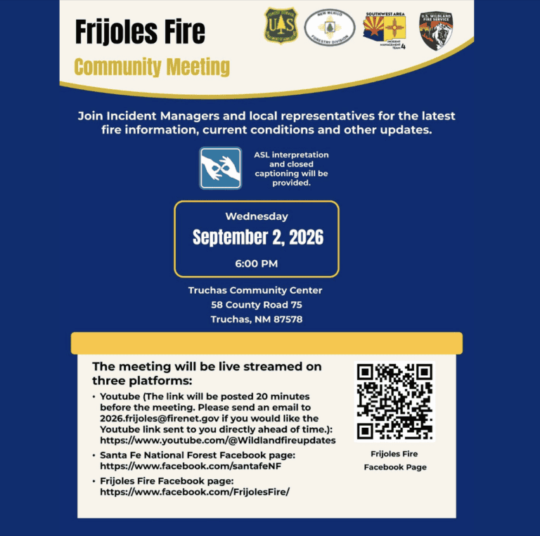
Frijoles Fire Community Meeting scheduled for Wednesday, September 2, 2026, at 6:00 p.m. at the Truchas Community Center, 58 County Road 75.
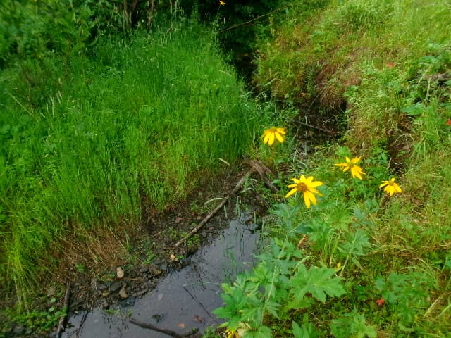
Water in La Cueva creek, but you have to look under the bushes for pools.
See the homepage for moment to moment updates. TL;DR: The SF2T has significant trail closures that prevent an end-to-end thru-hike until September 15. In other, drastically less urgent news from 8/16… The Frijoles Fire is 9,338 acres and is at 12% containment. Check for official updates here: https://www.Facebook.com/FrijolesFire or on Inciweb. Air quality readings have…
Update 8/12: There is confirmed water at La Cueva Field. Look in the undergrowth along the west side of the field. The creek is not actively running, but there are small pools of water. Update 8/6 3:30 pm: The Frijoles Fire has grown to 200 acres. That’s 20x what it was less than 24 hours…
Topics: Both forests are in Stage 2 Fire Restrictions until September 30th or until rescinded Water updates Altitude sickness I am getting word of or communicating with several hikers who have gotten altitude sickness and have had to get off trail. It tends to happen right around when people are at Santa Barbara Campground or…
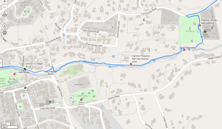
A few highlights of recent developments: Water conditions Hikers wandering into private property I received a complaint from a property owner along the Camino Pequeno section about hikers wandering onto private property. Please stay on the trail corridor through this area. If hikers continue leaving the trail here, we may lose access to this lovely…
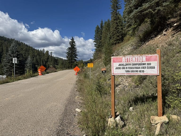
Jack’s Creek Campground and Horsecamp is also closed until September 30th, as is the road to Jack’s Creek from Cowles. Per the Closure order: “The Described Road is in San Miguel County, north of Cowles, New Mexico, at the junction of New Mexico State Road 63 and NFS Road 555 starting at the middle gate…
Lower elevations are clear, but at least one section of trail is still dangerous enough that most hikers won’t be comfortable with it. Might be cleared by late next week. Water sources are fine, but water flows are at critically low levels for this time of year.
Fire conditions Santa Fe National Forest has been put under Stage 1 fire restrictions. These are effective until September 30th. Stage 1 means: I greatly appreciate the SFNF doing this. It’s a big relief. Carson National Forest has no such restrictions yet, but I hope they will implement them soon. There’s a good article in…
I’ve been getting a lot of questions about when the snowpack will be cleared enough to do the trail. Unfortunately, it will be much sooner than normal. As outlined in the FAQs and elsewhere, normally the season for the SF2T Trail would be from June 1st until about mid October. But this year? Let’s toss…
I’ve been toying with the idea of extending the thru hike so it’s more even for at least two years. Like “ski basin to ski basin”, or “plaza to plaza”. I started with ski basin to ski basin (“basin to basin”), probably because the Taos Ski Basin is gorgeous, and just a good place to…
The fire is out. Maybe not by strict definition, but it’s out enough to say that. The monsoons arrived early this year. The rain started falling last week, about 10 days ago. I was in New Hampshire helping my mom recover from a broken hip and got to talk to my husband, who was in…
The fire has slowed considerably. It’s still burning, but as of this morning the fire crews have got it 65% contained. We also have rain in the forecast, for a second week in a row: Despite the forecasts from last week, we got very little actual rain – 0.04 inches per NOAA’s three-day history tool….
The fire has slowed, but it is still working it’s way west. Here’s yesterday’s progression map: This is the scale of it now: Evacuations are ordered for the north part of Pecos – everything on Rt 63 north of the monastery. So Holy Ghost, Tres Lagunas, El Macho and Lower La Posada in the Pecos…
As you probably know, the Hermit’s Peak / Calf Canyon fire is sweeping up the eastern flank of the mountains between Santa Fe to Taos. It may well reach all the way from Las Vegas to Angel Fire within a week. It shows no signs of stopping. There is no rain forecast for at least…
Finally got an escape day to get out and try to find American Spring. It’s on the Taos side of the hike, about 4 miles from the El Nogal trailhead according to the maps. Where the maps (and Gaia GPS’s “USFS 2016” map) say American Spring is supposed to be is on the right side…