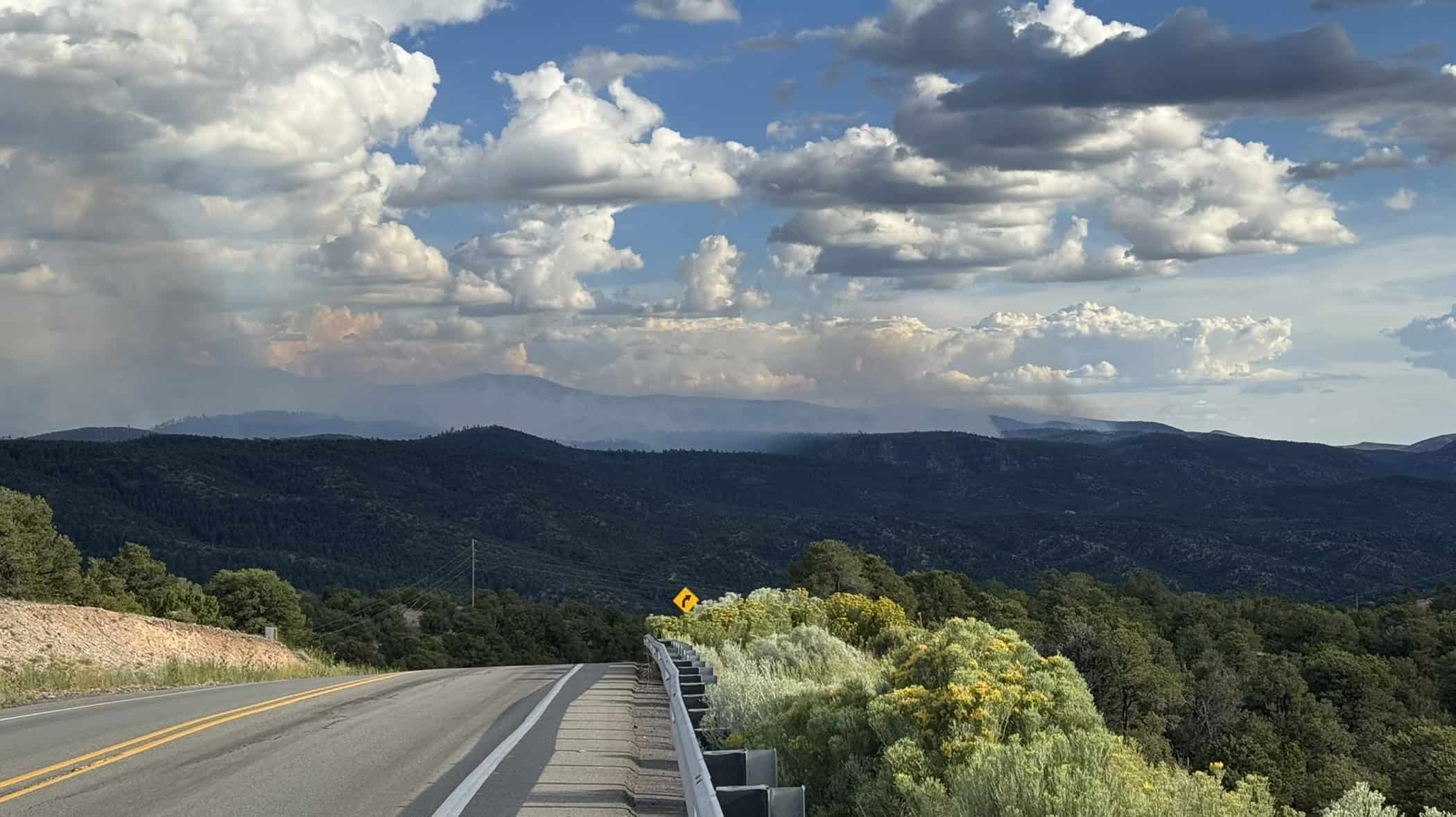
August 17 Trail Conditions Update
See the homepage for moment to moment updates.
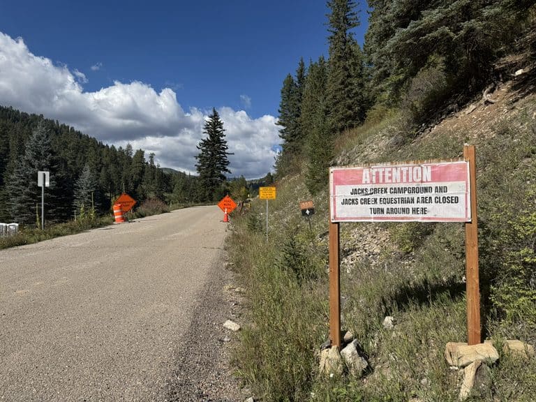
TL;DR: The SF2T has significant trail closures that prevent an end-to-end thru-hike until September 15.
In other, drastically less urgent news from 8/16…
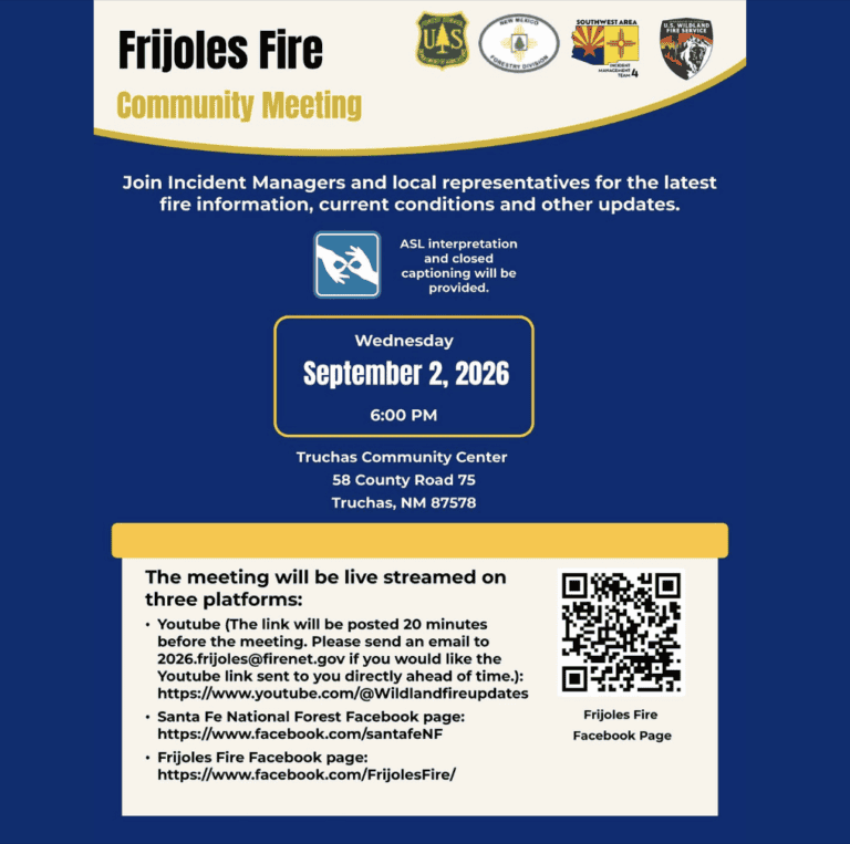
The Frijoles Fire is 9,338 acres and is at 12% containment. Check for official updates here: https://www.Facebook.com/FrijolesFire or on Inciweb.
Air quality readings have improved a lot recently, but they change all the time. Check for updates at https://fire.airnow.gov/ or via the Watch Duty app or other sources. The weather forecast predicts cooler temperatures, higher humidity, and 50-60% chances of rain Sunday and Monday.
If you are on trail in the area, have plans for exit points. Check fire activity every few hours. The Frijoles fire has not moved closer to the SF2T in the last few days, but conditions can change very fast. It is irresponsible to be out in the backcountry near a fire like this and not have some way to monitor the fire’s behavior.
All that said:
a) Most of the Santa Fe National Forest remains open, but the closure shown above is in effect.
b) The fire is still more than 5 miles away from the route of the SF2T. It is still roughly 5 miles northwest of Lake Katherine, but again – that could change at any time. It is your responsibility to be ready for that.
c) Great people are working hard to bring this fire under control. Read the full Facebook posts and incident reports for details. I am not an official or authorized source for fire information.
Get the app Watch Duty and monitor updates. Santa Fe County also has an excellent page, especially to monitor evacuation status and road closures. The Santa Fe New Mexican is publishing articles about the fire regularly.
Check the SF County Fire site for information on local evacuation statuses and road closures.
Everything below here was written before this closure order was released:
The Frijoles Fire flared up quickly on August 4th, has now burned nearly 9,000 acres. Containment is at 12%.
Fire behavior obviously changes constantly, but at this particular snapshot in time, the fire is about 5 miles from the route of the SF2T. It has not moved closer to the route of the SF2T in several days. Air quality measurements have gotten dramatically better in the last couple of days. (One morning several days ago the Santa Fe Plaza briefly hit 394 AQI). I’ve been seeing 50 to 80 AQI most of the time for most of the sensors in the area, but the fire does flare up now and then, especially in the late afternoons.
So things are better. The risk of the situation is obviously not over, and isn’t going to be over for a while. At the public information session yesterday, streamed on Facebook, officials said they expect to be fighting this for a while, and they do expect it to grow east. It hasn’t yet. Uncertainty is the name of the game here. They also expect smoky conditions for the next few weeks.
A lot of people get upset by fires. Especially, you know… if it’s coming toward their house. For a few days here it seemed like everyone was rattled. There’s a hardwired sense of alarm to billowing black clouds, of course. There should be.
I get unsettled myself. I had one night where I came to terms with seeing the entire slope between the Baldy Saddle and Wilderness Gate charred all the way to Nambe Lake. I remembered walking through the Jaroso Fire burn scar in November of the year it burned, when big black hunks of bark would fly off in the wind now and then and spook me, because the place had such an ache to it.
But the land is supposed to burn. Low intensity fires are natural and serve a purpose. And the Frijoles fire, generally, has been low intensity. All that said, when the fire is moving toward your house, or a town you care about, or a mountain range you care about, or anything you care about, maintaining scientifically driven emotional distance from whatever happens is a pretty big ask. Especially for the people of Cundiyo, and Cordova, and Nambe Pueblo and other nearby places, this is hard. It hurts to see the land burn, low intensity or not. Even when the fires stop, the people in these areas will deal with the fire for years afterward, in the risks of floods and landslides and fire retardant’s effects on water and soil.
And we are lucky. Just ask anyone in Oregon or Washington.
I have gotten a few reports from hikers who have cancelled their plans to do the SF2T in the next two weeks or so. I am also getting new registrations for people who expect to start in late August. Fire allowing, of course. For me personally, if I could get on trail now, I would. But that’s largely because I’d like to get some photos in before the leaves turn, and my trail time has been basically eliminated so far this year due to the administrative demands of the trail.
If you are getting on trail while this is still an active situation, you need to be able to track the fire. Watch Duty is the go to for that. Carry a Garmin or some other device that can reliably allow you to communicate with your ground contact at any time. Know your exits. Panchuela Campground may still be closed, but you could absolutely walk out there. You could walk down from Stewart Lake via Winsor Ridge Trail, or down into Holy Ghost, or even get up to the Ski Basin and someone there would almost certainly help you out. Also know that in years past, when an evacuation order became active, hikers have told me that helicopters dropped paper notifications at places like Stewart Lake and other known usage areas in the backcountry. I can’t be sure that would happen now, or how the forest might be evacuated. But I can say and will say, over and over: You need a reliable way to monitor this fire if you’re on trail in the area.
I’ll keep updating the home page every day or so with recent updates on the Frijoles Fire, but I am not an official source. I’d rather you went to the official sources.
- https://www.Facebook.com/FrijolesFire
- Inciweb
- Santa Fe County Fire site
- Watch Duty (direct link to their Frijoles Fire info)
- Air Quality at https://fire.airnow.gov/
Water conditions
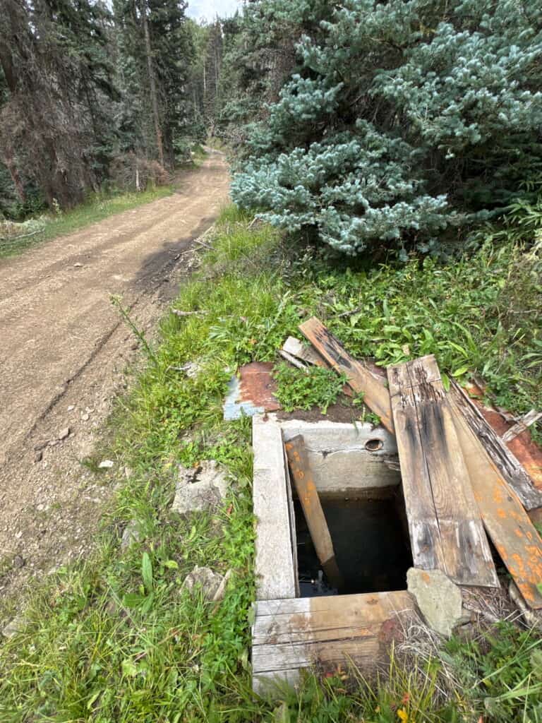
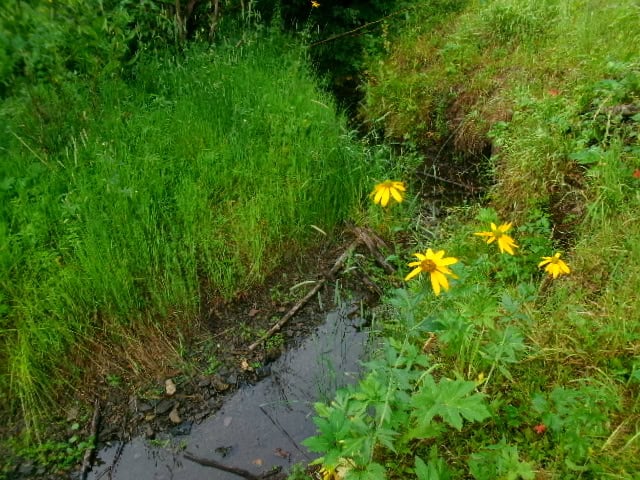
From two Santa Feans who finished the SF2T NOBO on August 8th: “We didn’t struggle for water. The last stretch into Taos was hot and dry but we filled up enough at Rio Chiquito to make it comfortably into town. We filled up at the spot you took the photo in your latest water report. Every water source noted in the guidebook had water, and even a few extra small seeps that weren’t noted south of Santa Barbara.”
- There is confirmed water in La Cueva “creek” on the west side of La Cueva field. You just need to look in the bushes for small pools.
- There is confirmed water on FR 442.
- Rio Chiquito, opposite Drake Canyon, is still dry. Just walk 1,000 feet back, SOBO, to find a spot with a decent pool of water. Or fill up earlier.
El Niño is expected to bring above average snowfall to northern New Mexico. I am cautiously optimistic, but obviously there are no guarantees.
Our monsoon is happening, but it’s not quite what we all hoped for. It’s still quite dry out.
Reports are that the dead cow on Skyline Trail just north of Pecos Baldy Lake is gone.
NMWild has reportedly cleared the trail to Lake Johnson. I am heartbroken; it means Lake Johnson is about to get a lot more visitors. But I thank NMWild for their other work on Skyline. If they can get all the way through to Pecos Baldy Lake, the SF2T has a new alternate route. The little clutch of unburned forest where Panchuela Creek and Skyline Trail intersect is a good place to rest or camp if you happen to be on your way through there.