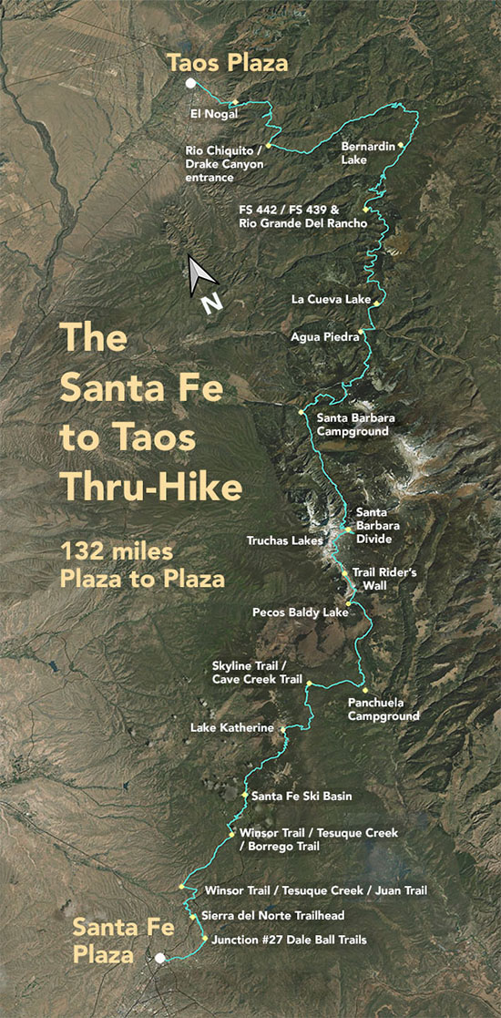
The Santa Fe to Taos Thru-Hike

The Santa Fe to Taos thru-hike goes from the Santa Fe Plaza all the way to Taos Plaza over the Sangre de Cristo Mountains. It is 132 miles long, spans four counties – Santa Fe, Rio Arriba, Mora, and Taos – and crosses the Santa Fe National Forest, The Pecos Wilderness, and Carson National Forest.
We have Gaia GPS maps documenting every step of the thru-hike.
Click here to download a printable version of the summary map above. The file is 1.7 mb, 300 dpi, and will fit on an 8.5 x 11 sheet of paper.
Here are a few of our favorite photographs:
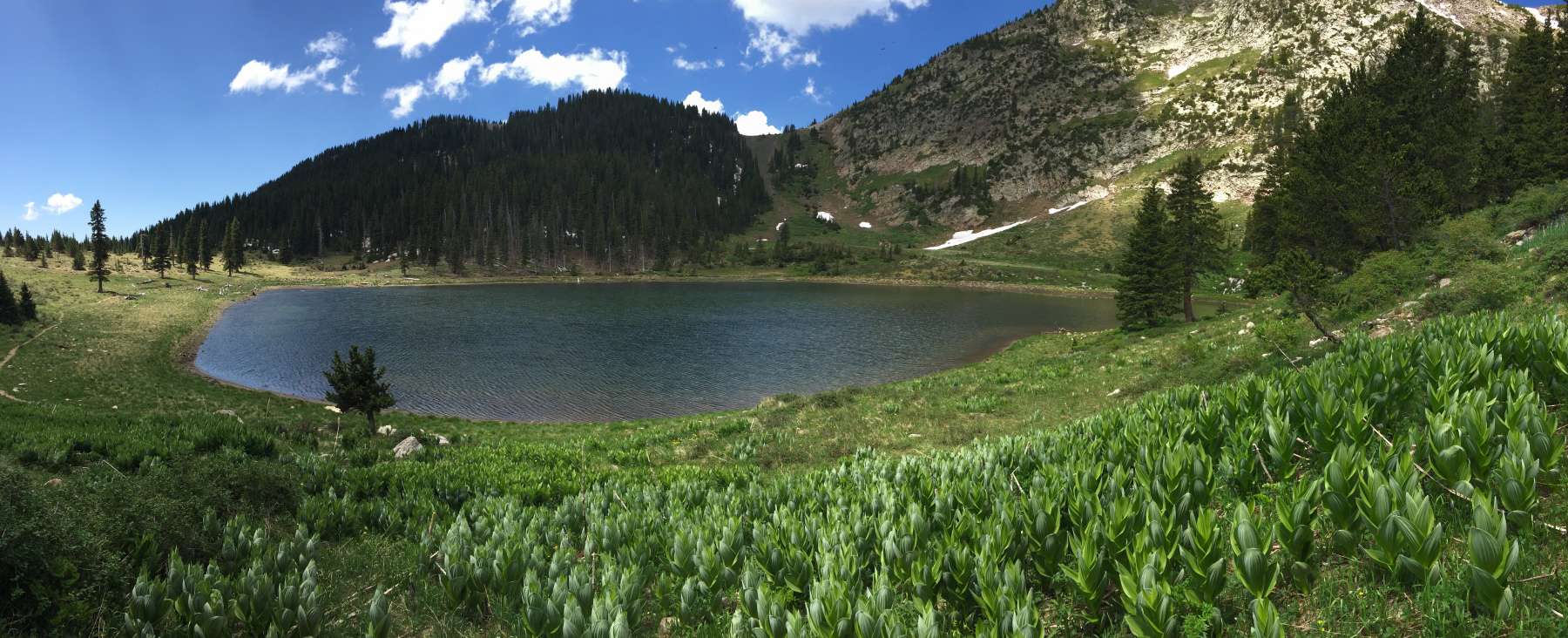
Pecos Baldy Lake
Looking south. Note the snow. Note the date. June 21, and there were still big swathes of chunky snow at Pecos Baldy lake. A group of hikers went into the Pecos the year before last in around May and had to get brought back by Search and Rescue because they got stuck in the snow. It's the mountains, yo. The mountains here get at least 100 inches of snow in the winter (we hope more). That snow sticks around until June in some places. Be prepared for that.

