The Santa Fe to Taos Thru-Hike

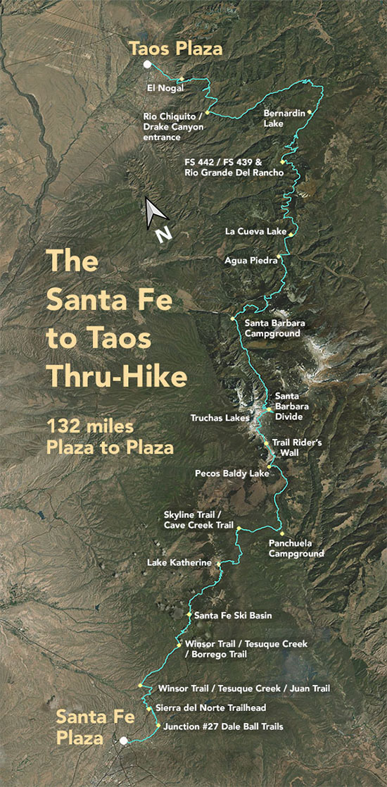
The Santa Fe to Taos thru-hike goes from the Santa Fe Plaza all the way to Taos Plaza over the Sangre de Cristo Mountains. It is 132 miles long, spans four counties – Santa Fe, Rio Arriba, Mora, and Taos – and crosses the Santa Fe National Forest, The Pecos Wilderness, and Carson National Forest.
We have Gaia GPS maps documenting every step of the thru-hike.
Click here to download a printable version of the summary map above. The file is 1.7 mb, 300 dpi, and will fit on an 8.5 x 11 sheet of paper.
Here are a few of our favorite photographs:
Section 1 - From the Camino Pequeno corridor trail
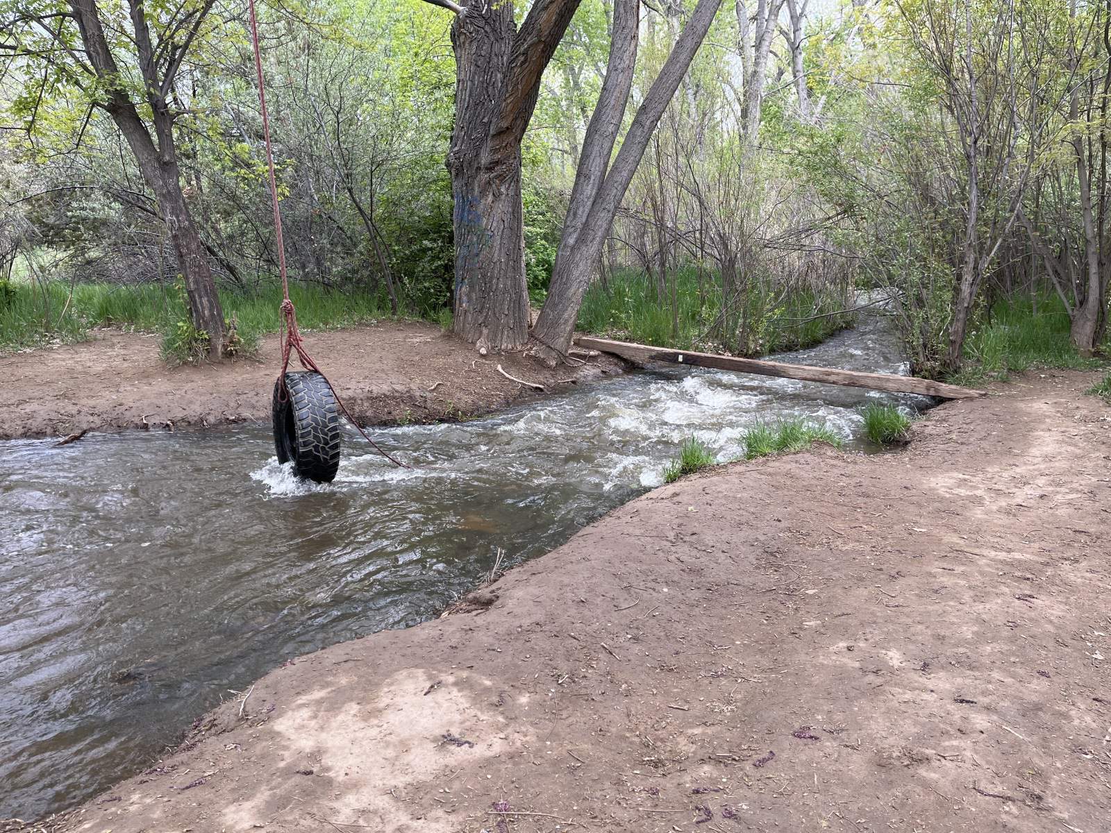
Okay, so maybe I have too many photos of this part of the trail. But it's so lovely. It does also highlight one of the major considerations of the trail: access to water. The Santa Fe to Taos Thru-Hike is actually pretty darn good about this. However (big however) sometimes maps mischaracterize water sources. The good news is there are a lot of water sources that are not listed on maps. In my travels, I usually stop and add a waypoint when I find anything more substantial than a seep. I really need to create a map of the thru-hike just with water access information. I highly, highly recommend you always have at least one full liter of water with you. Even if you're standing next to a stream. I also highly recommend getting one of the collapsible water bottles. They can be so helpful if you have to go a few miles without reliable water. The "Platypus Platy 2-Liter Flexible Water Bottle" is excellent and costs $19.

