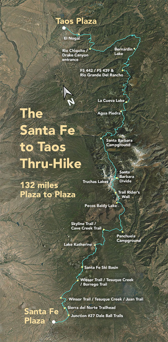
The Santa Fe to Taos Thru-Hike

The Santa Fe to Taos thru-hike goes from the Santa Fe Plaza all the way to Taos Plaza over the Sangre de Cristo Mountains. It is 132 miles long, spans four counties – Santa Fe, Rio Arriba, Mora, and Taos – and crosses the Santa Fe National Forest, The Pecos Wilderness, and Carson National Forest.
We have Gaia GPS maps documenting every step of the thru-hike.
Click here to download a printable version of the summary map above. The file is 1.7 mb, 300 dpi, and will fit on an 8.5 x 11 sheet of paper.
Here are a few of our favorite photographs:
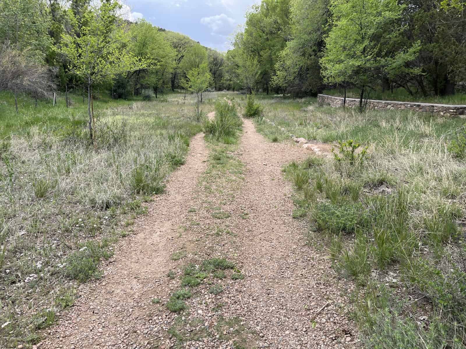
Section 1 - From the Camino Pequeno corridor trail
Just another example of how easy and nice this walk is. You could park your car at Patrick Smith Park, walk east along Alameda for a couple hundred feet, then continue on Camino Pequeno for another 1,000 feet or so, then duck right at the trail entrance. Walk through to the Cerro Gordo Trailhead (or keep walking towards and through the Santa Fe Canyon Preserve) and come back. It'd be about four miles, all flat. Shaded, with water. Bring a picnic. I have mugs and notecards and other merch with this photo, if you're interested.

