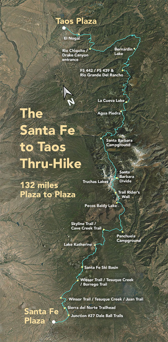
The Santa Fe to Taos Thru-Hike

The Santa Fe to Taos thru-hike goes from the Santa Fe Plaza all the way to Taos Plaza over the Sangre de Cristo Mountains. It is 132 miles long, spans four counties – Santa Fe, Rio Arriba, Mora, and Taos – and crosses the Santa Fe National Forest, The Pecos Wilderness, and Carson National Forest.
We have Gaia GPS maps documenting every step of the thru-hike.
Click here to download a printable version of the summary map above. The file is 1.7 mb, 300 dpi, and will fit on an 8.5 x 11 sheet of paper.
Here are a few of our favorite photographs:
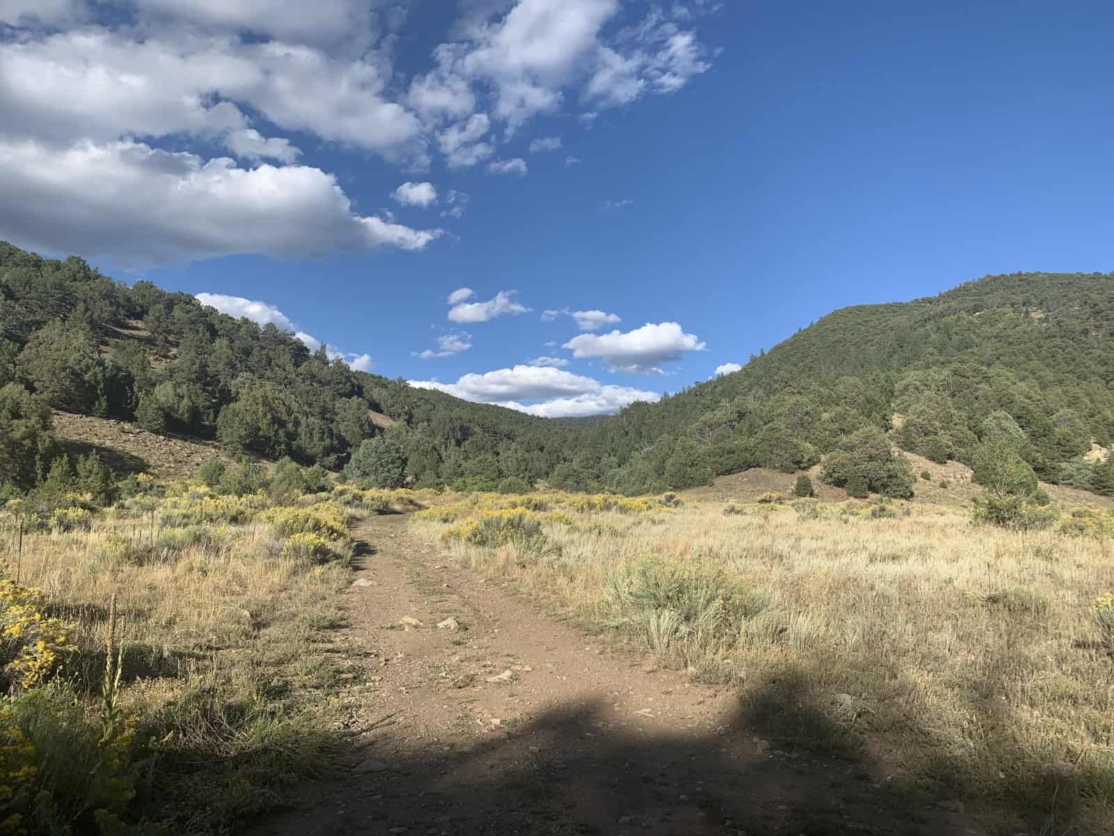
Section 6 - Entrance to Drake Canyon
This is the view from FR 437 as you walk into Drake Canyon. Just over those hills is El Nogal, and then on to Taos Plaza. This is the last water access you'll have for a while. There is water at "American Spring" or "Bear Spring" but it's sketchy. There is usually water at El Nogal trailhead, but if it's been really dry, there may not be. When Riley and I did the thru-hike in 2018, this view of Drake Canyon was the last water we had on the thru-hike (all the way to Taos Plaza) with the noted exception of the 2-3 water bottles some wonderful, dear man gave us when we were walking into Taos Plaza. He even cut up two hotdogs for Riley and showed me around his studio. Taos people are fantastic.

