The Santa Fe to Taos Thru-Hike

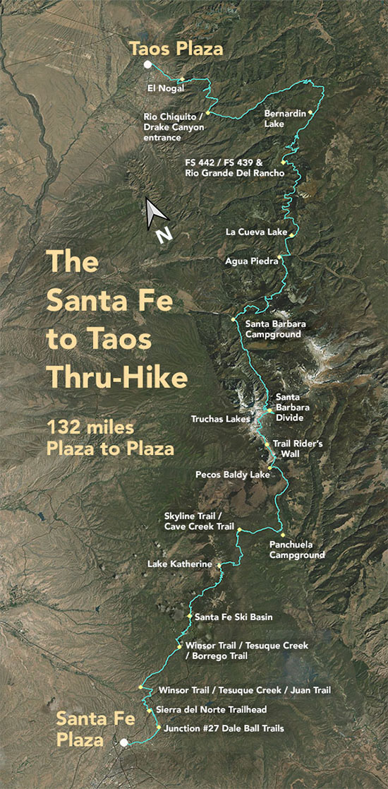
The Santa Fe to Taos thru-hike goes from the Santa Fe Plaza all the way to Taos Plaza over the Sangre de Cristo Mountains. It is 132 miles long, spans four counties – Santa Fe, Rio Arriba, Mora, and Taos – and crosses the Santa Fe National Forest, The Pecos Wilderness, and Carson National Forest.
We have Gaia GPS maps documenting every step of the thru-hike.
Click here to download a printable version of the summary map above. The file is 1.7 mb, 300 dpi, and will fit on an 8.5 x 11 sheet of paper.
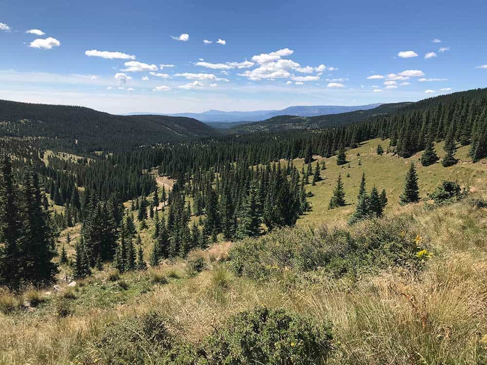
Here are a few of our favorite photographs:

