The Santa Fe to Taos Thru-Hike

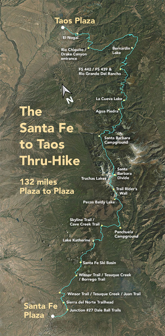
The Santa Fe to Taos thru-hike goes from the Santa Fe Plaza all the way to Taos Plaza over the Sangre de Cristo Mountains. It is 132 miles long, spans four counties – Santa Fe, Rio Arriba, Mora, and Taos – and crosses the Santa Fe National Forest, The Pecos Wilderness, and Carson National Forest.
We have Gaia GPS maps documenting every step of the thru-hike.
Click here to download a printable version of the summary map above. The file is 1.7 mb, 300 dpi, and will fit on an 8.5 x 11 sheet of paper.
Here are a few of our favorite photographs:
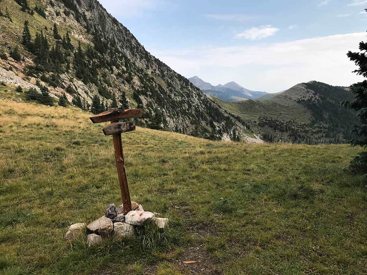
East Pecos Baldy (on the left)
You can see Truchas further off. This is the view you'll get if you climb up from Pecos Baldy Lake, or if you approach Pecos Baldy Lake from Rito Perro Trail. I love this view, but it's a long steep climb, and because of the issues with the burn along Skyline Trail, and a massive (4-5 ft in diameter) tree that has somewhat blocked Rito Perro trail, I am probably redirecting the thru hike away from Rito Perro and the burned part of Skyline Trail. Instead, when you come to Cave Creek from Skyline (coming from Stewart Lake) you'll go down towards Panchuela, then up Dockweiler Trail, then along Jack's Creek Trail and come up to Pecos Baldy Lake the way most people do. It's safer, by a lot. Better traveled, radically better trail conditions. And more water access.

