The Santa Fe to Taos Thru-Hike

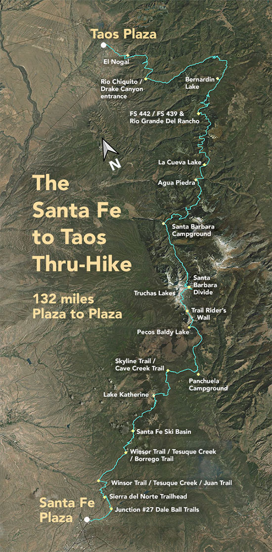
The Santa Fe to Taos thru-hike goes from the Santa Fe Plaza all the way to Taos Plaza over the Sangre de Cristo Mountains. It is 132 miles long, spans four counties – Santa Fe, Rio Arriba, Mora, and Taos – and crosses the Santa Fe National Forest, The Pecos Wilderness, and Carson National Forest.
We have Gaia GPS maps documenting every step of the thru-hike.
Click here to download a printable version of the summary map above. The file is 1.7 mb, 300 dpi, and will fit on an 8.5 x 11 sheet of paper.
Here are a few of our favorite photographs:
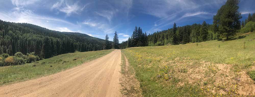
Day 10 - FR 437
This is the walk along FR 437. You'll walk quite a while along this, but you'll have Rio Chiquito on one side of the road (again, I am always thinking about water access). There are also many excellent camping sites here. You could also avoid the road and go along the south boundary trail into El Nogal, but ... that trail is used by mountain bikers (who are ironically more likely to run you down than a vehicle is) and there's no water. I'm very interested in the South Boundary Trail, though. Need to get to know it better in 2024.

