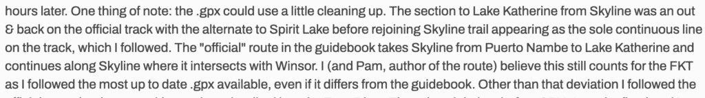
Bailey’s issues with the gpx file
from https://fastestknowntime.com/fkt/bailey-newbrey-santa-fe-taos-thru-hike-nm-2025-07-24 where Bailey says:
The people who recorded the first FKT record for the thru-hike, using the same gpx file, had no such problem with the gpx file.
Link to the first FKT completers’ page. Or just search FKT’s routes page for “Santa Fe to Taos” and you’ll see both FKT logs.
This is a screenshot of how they went, following the thru-hike’s route:
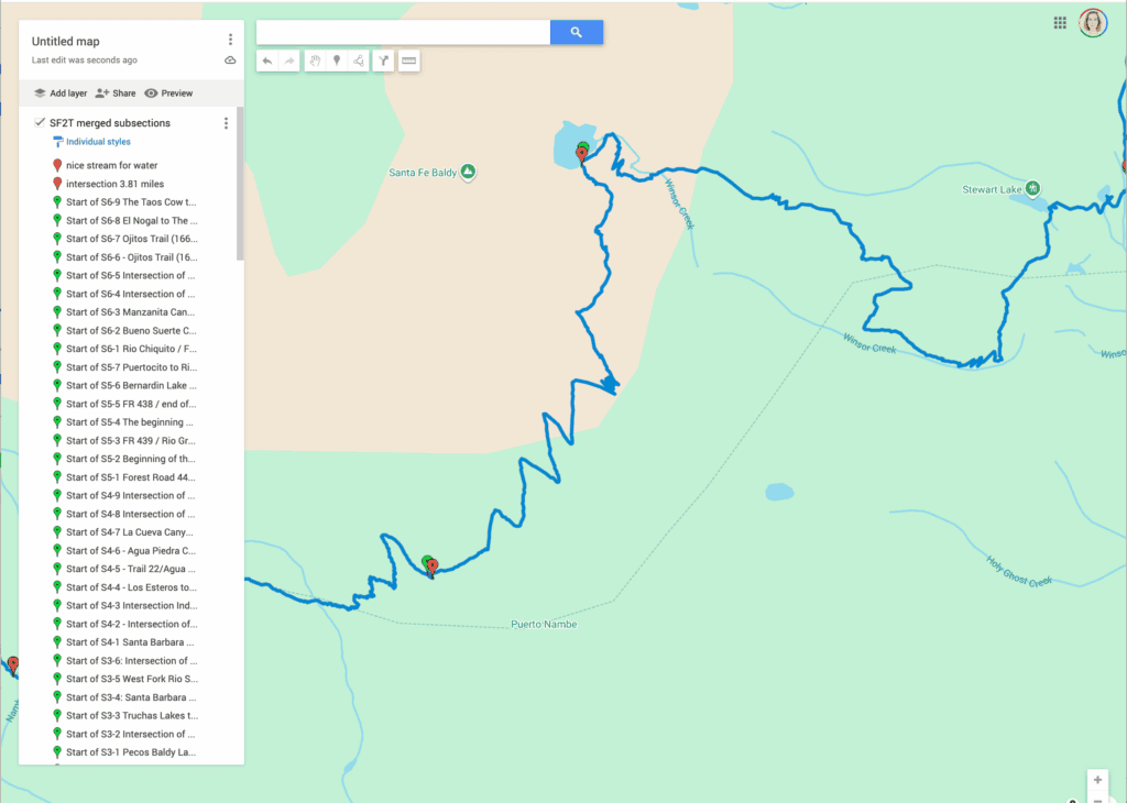
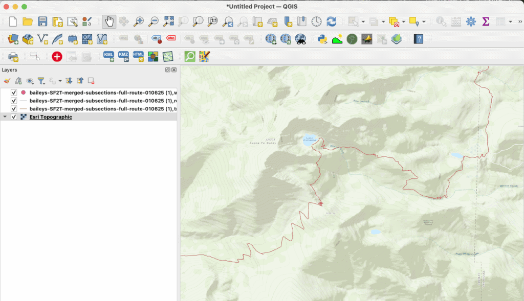
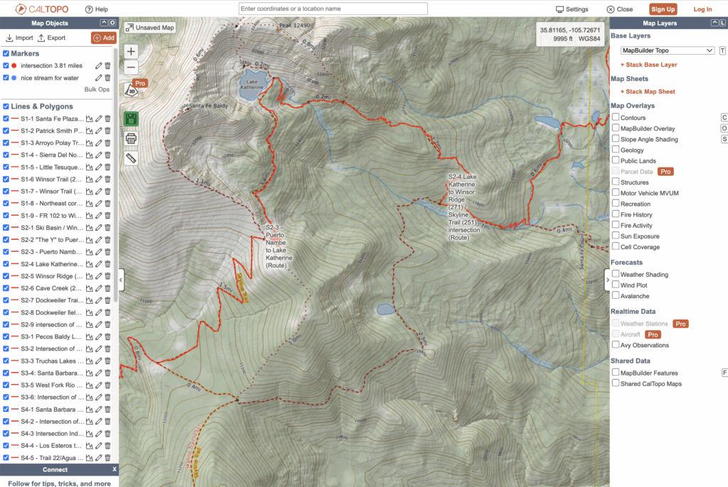
The GPX file from Bailey’s page, filename “SF2T-merged-subsections-full-route-010625 (1).gpx” was imported into five different mapping apps. None show the “out and back” Bailey describes.
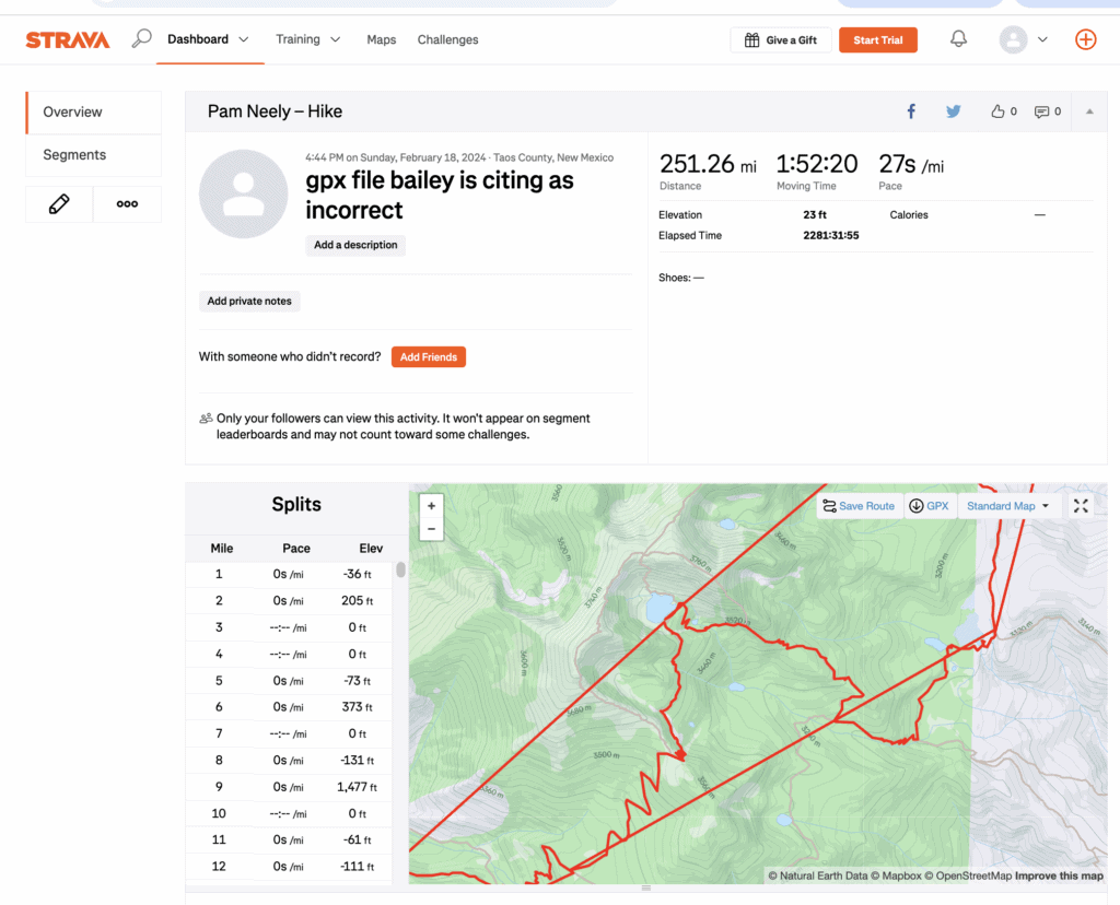
Downloaded into Strava the gpx file – downloaded directly from Bailey’s FKT page – does not show this issue. The gpx file correctly shows the route going past Lake Katherine (not past Spirit Lake, though that is an alt route for the thru-hike) with no out and back.
In Google maps the gpx file – downloaded directly from Bailey’s FKT page – does not show this issue. The gpx file correctly shows the route going past Lake Katherine (not past Spirit Lake, though that is an alt route for the thru-hike) with no out and back.
In QGIS the gpx file Bailey cites does not show this issue. The gpx file correctly shows the route going past Lake Katherine (not past Spirit Lake, though that is an alt route for the thru-hike) with no out and back.
When imported into CalTopo, the gpx file (again, downloaded directly from Bailey’s FKT page) does not show this issue. The gpx file correctly shows the route going past Lake Katherine (not past Spirit Lake, though that is an alt route for the thru-hike) with no out and back.
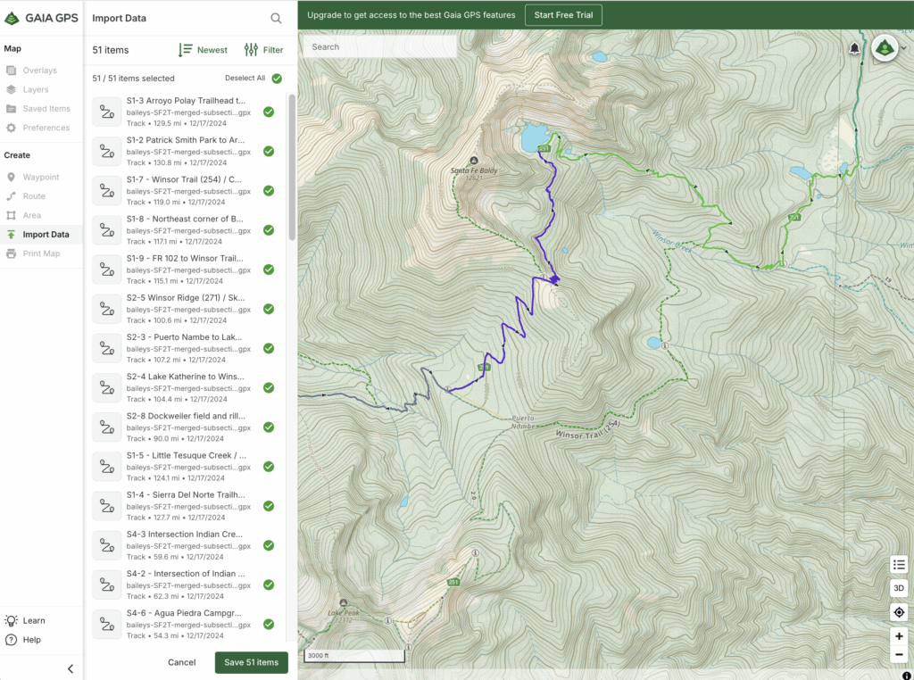
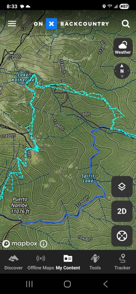
When imported into the Gaia Maps app, the gpx file from Bailey’s page also does not show this issue. The gpx file correctly shows the route going past Lake Katherine (not past Spirit Lake, though that is an alt route for the thru-hike) with no out and back.